Records held by the National Archives are valuable for Western States researchers. Think about it: beginning with California in 1850 and ending with Arizona and New Mexico in 1912, statehood for Western States meant that territorial records were transferred to the federal government for archiving. After statehood, federal records were created for the region.
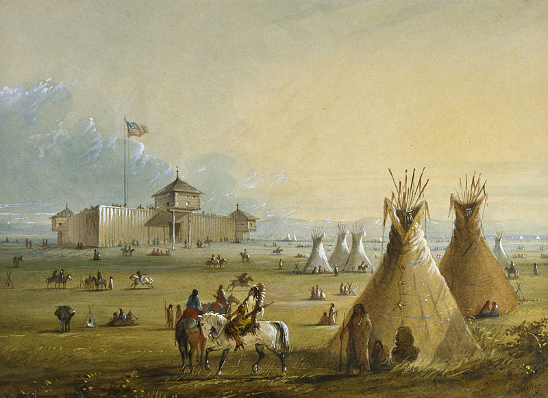
The variety and scope of territorial and federal records pertaining to the Western States is quite interesting, and recently NARA added some records relating to military posts, or forts to their catalog.
The collection is titled “Plans of Military Posts in the United States, 1840-1947” (also titled “Miscellaneous Forts Files”). The creator is the War Department, Office of the Chief of Engineers, the NAID is 305806. Local ID is 77-MFF. It is partially available online, and searchable here.
The description on the NARA website reads: “This series consists of maps and plans of military posts primarily in the western United States. Most of these plans were originally compiled by Army quartermasters at each post before the drawings were transferred to the custody of the Corps of Engineers. Included are detailed maps, architectural plans, elevations, sketches, diagrams, and views of buildings. Also included are plats of the posts. Arranged alphabetically by name of post and thereunder numerically by sheet number.”
While this series may not have the names of personnel or other details about activities of the troops or forts, maps are valuable resources for researchers, and detailed drawings of buildings could be fascinating. The fact that part of the collection is available online is a big bonus!
For records that have other items of interest for researchers I recommend searching National Archives Record Group (RG) 393 titled, “U.S. Army Continental Commands, 1821-1920”, and particularly those found under 393.7 Records of Posts, 1820-1940. Those records include, “Letters sent and received, with indexes and registers; endorsements; telegrams; issuances; registers; reports; and other records of the headquarters, subordinate units and subposts, and staff offices of various posts.” Unfortunately, these records are not digitized as far as I know, so they require onsite research. Consult this NARA page to see where RG 393 is housed, as it is found in several different locations.
I previously posted about researching forts Out West, and you can access that post here for more resources and methodolgies.