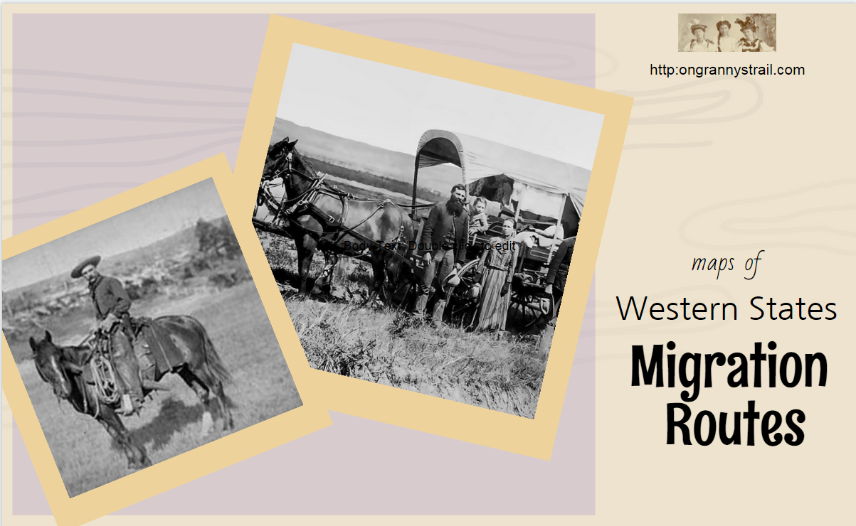
How did your ancestors end up Out West? Click on these links to access maps for Western States migration trails, early railroads, and rivers from On Granny’s Trail.
…A resource for Western States genealogy and more

How did your ancestors end up Out West? Click on these links to access maps for Western States migration trails, early railroads, and rivers from On Granny’s Trail.
I’m posting links to a few animated maps and timelines, and mapping sites with a twist, like the U.S. History Primary Source Timeline, America’s Best History Timeline, World History Timeline, New York Times Immigration Explorer, History Pin, and Timeline of Events in the West, There are lots of these kinds of timelines out there (just do a search in any browser), so find one you like and put it in your genealogy toolkit–handy sites that help you organize and interpret your research.

Having a historical timeline in your toolkit will help you understand the events that affected your ancestors’ lives, and can give you clues about what kinds of records to search. Was there a war going on? Did the creation of a territory provide opportunity for free land? Did world events stimulate immigration from certain countries?
Along with historical timelines for the nation, consider finding or creating state and county timelines, and always create a timeline for a family. That should be one of the first things you do as you begin your research, but it can also be something that will help you when you are well down the road in your research and may have come to a dead end.
Integrate your family timeline with county, state, and national timelines and you may be surprised at the new ideas that emerge for your research.
TIP: Keep your genealogy toolkit handy by creating a “Toolkit” folder on the “favorites” or “bookmark bar” in your internet browser, or create a “Toolkit” folder in the Evernote program.
The Montana Historical Society Research Center in Helena, Montana, can be found online at:
They have what is called the Montana Memory Project. These memory projects are beginning to crop up for other states, too. Just “Google” [state] Memory Project and see what you find for the state where you are researching.
Significant digital collections (Montana Memory Project):
Here are three books I have found helpful and interesting in researching the Western States:
1. Ray Allen Billington, The Far Western Frontier, 1830-1860, (Harper and Row, 1956)

I like the illustrations and maps in this book. There are some really good migration maps, such as “Routes to the Gold Fields, 1849,” and “The Overland Trails.” It includes a valuable bibliography at the end of the book with many entries for each chapter. There are 12 chapters that discuss various aspects of western U.S. expansion in a scholarly but understandable way, and I was impressed by the extensive footnotes. I often use footnotes to lead me to other sources.
2. Alan Wexler, Atlas of Westward Expansion, (Facts On File, Inc., 1995)

As an atlas, this book obviously is loaded with maps, and there is also good narrative for each one. The maps are pen and ink drawings which are easy to understand, yet detailed enough to be useful. It also has a good chronology of U.S. Territorial expansion (1750-1917) and a good bibliography.
3. Derek Hayes, Historical Atlas of the American West, with Original Maps, (University of California, 2009).

I think the description on Amazon.com says it best: “Spectacular in scope and visually brilliant, this atlas presents a sweeping history of the American West through more than 600 original, full-color maps and extended captions.” It is a beautiful book and very interesting, too. The maps are thoroughly source-cited, and there is also a valuable bibliography. I highly recommend it.
These three books complement each other and combine to provide a good foundation for Western States research.
