
Pick a date. Now pick a state. Pick a date and a state and I will show you the state and county boundaries on that exact date using Google Earth. I know you’ve heard of Google Earth and have probably used it. You may have heard of the Atlas of Historical County Boundaries (AHCB) and, if so, have probably used it. Have you used them both TOGETHER? Until today I didn’t know it was possible. Very cool!
Let me show you how to download a map from Newberry Library’s Atlas of Historical County Boundaries, open it in Google Earth, and watch the county boundaries change before your eyes as you move the date slider.
Go to the Atlas of Historical County Boundaries. Click on Download Files and it will take you to this screen:

Click on “State Downloads” and it will take you to this list where you can choose a state:
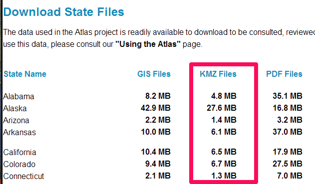 Click on the “KMZ File” for the state. I chose Arizona. The file was added to the downloads folder on my computer:

I had previously installed Google Earth, but if you haven’t you will need to take a moment to do that. If you have Google Earth installed, you simply click on the [state] HistCountiesKMZ.zip file wherever you saved it on your computer, and it will unzip and become a .kmz file. Click on the .kmz file and it will open up a historical county boundaries map overlaid on a current Google Earth map!

This one happens to be Arizona in 1861. Using the “time slider” in the upper left corner of your map (not visible on this map) you can watch the boundaries change through time, and for an extra thrill click on the little button that animates the boundary changes like a flip book. As you can see, Arizona was actually part of New Mexico Territory at that time.
Next, search for a town and Google Earth will place a marker for it on the map. Use your time slider to see how the county boundaries changed around your town. Fun stuff. For a genealogist, anyway. We’re weird! 😉

oldies are always goodies! God Bless you and your Mission!
Thanks, Mom!
Reblogged this on On Granny's Trail and commented:
While we are away from home serving as missionaries, I will reblot some popular posts from previous years. Here is a way to view historical county boundaries in Google Earth.
What a cool tip! Thanks for sharing this.
I want to let you know that your blog post is listed in today’s Fab Finds post at http://janasgenealogyandfamilyhistory.blogspot.com/2013/09/follow-friday-fab-finds-for-september_20.html
Have a great weekend!
Doesn’t seem to work….
oops…got it to work
Thanks, Jana!
Dayna
831-6827727